CZFree.Net Map
Cooperation on the mapping system of the wireless community network.
Code cleanup and adaptation to support multiple maps with different
geographic coordinate systems (Transverse Mercator, Lat/Long).
User feature requests handling ... 2003-2004.
User feature requests handling ... 2003-2004.
Technologies used:
Links:
- https://mapa.czfree.net/old/ - old version (by me)
- https://mapa.czfree.net/ - current version (not by me)
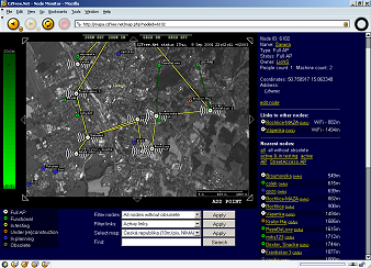
- mapa.czfree.net.jpg- screenshot of the old version